
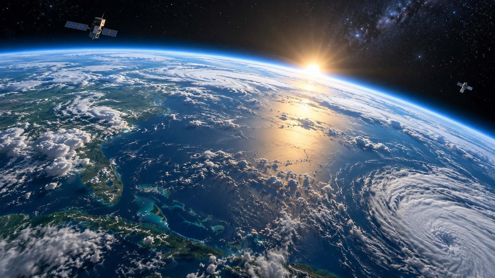
Seen from space, Earth is both familiar and surprising. The planet’s curved horizon, thin atmosphere, moving clouds and dark night side make it obvious that our everyday landscape is part of a much larger system.
The thin blue line of the atmosphere
From orbit, the atmosphere appears as a narrow glowing layer around Earth’s edge. That visual impression is a useful reminder that nearly all weather and breathable air are contained in a very small fraction of the planet’s radius.
Different wavelengths reveal different layers and gases. Instruments can measure temperature, water vapor, ozone and many other properties that are invisible in an ordinary photograph.

Why city lights matter
Nighttime images show the geographic pattern of human settlement, roads, fishing fleets and energy use. Researchers use carefully calibrated night-light data to study changes in electrification, urban growth and the effects of disasters.
The images are beautiful, but their scientific value comes from repeated, consistent measurements over time.
Watching oceans, ice and vegetation
Earth-observing satellites can track sea-surface temperature, ocean color, sea ice, snow cover, fires, soil moisture and vegetation. Different instruments are tuned to different wavelengths, allowing them to detect physical and biological changes.
A single image is a snapshot. Long records are more powerful because they reveal seasonal cycles, unusual events and long-term trends.
Weather from a global viewpoint
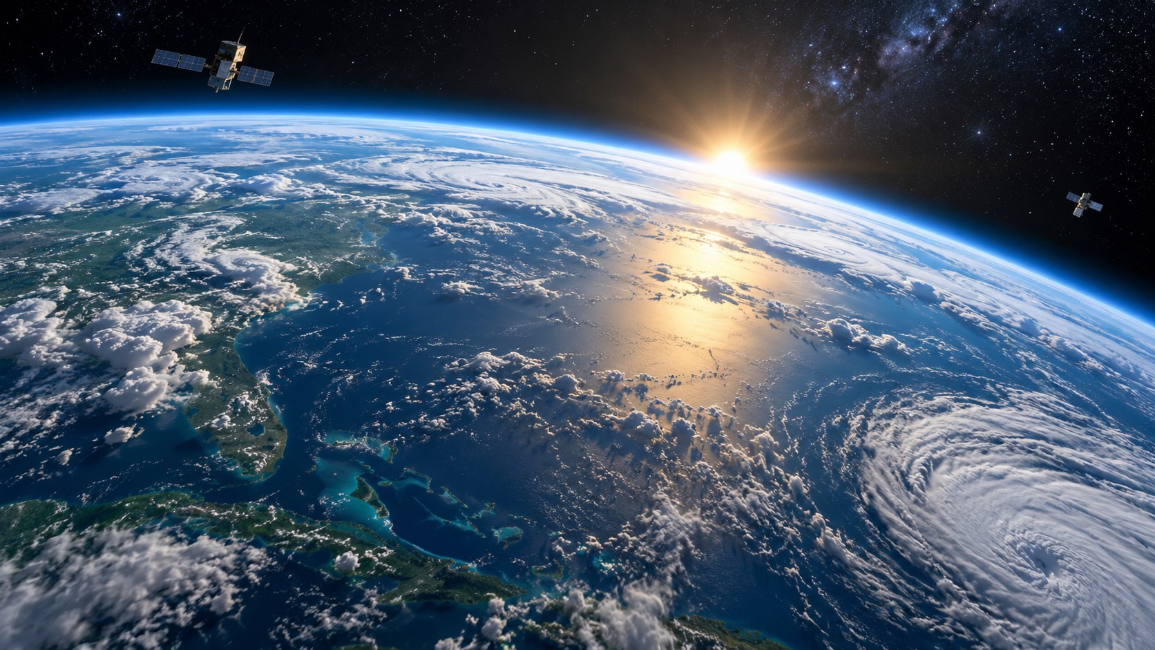
Geostationary satellites watch broad regions of Earth continuously, making them useful for tracking storms and cloud systems. Polar-orbiting satellites pass over different parts of the globe and can provide detailed global coverage.
Meteorologists combine satellite observations with ground stations, radar, aircraft, ocean buoys and numerical models.
Why Earth science belongs in a space website
Space technology is not only about distant planets. Some of the most practical spacecraft are pointed back at Earth. They help us understand the only inhabited planet we know and provide measurements that support decisions on weather, hazards, agriculture and climate.
FAQ
Why are satellite time series so useful?
Because one image is only a snapshot, while repeated measurements reveal trends, cycles and unusual events.
Do satellites only take visible-light pictures?
No. Many sensors work in infrared, microwave and other wavelength ranges that can reveal temperature, moisture and many other properties.
Why include Earth science on an astronomy site?
Because some of the most important space technology is aimed back at Earth, and it shows how orbital observation changes everyday science.